Key takeaway
Key takeaways
- T-10 weeks: Airspace and site assessment
- T-8 weeks: Permission file submission
- T-6 to T-3 weeks: Choreography and simulation
- Show day −2: Site build and grid survey
How drone light shows is actually delivered
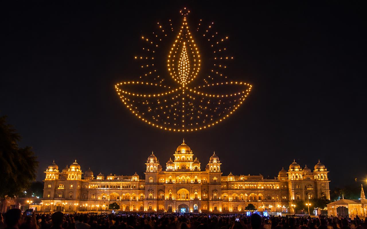
A drone light show is a choreographed flight, and the choreography is written in three dimensions against hard safety envelopes. Each aircraft is a small multirotor in the sub-kilogram class carrying a single high-output RGBW LED module. Positioning is GNSS-based, augmented by an RTK base station on site that corrects satellite error down to roughly centimetre-level accuracy — without RTK, formations of several hundred drones cannot hold the tight spacing that makes a logo readable. Flight paths are designed in show software, collision-checked in simulation, then uploaded to each aircraft which flies its own pre-loaded trajectory rather than being joysticked live.
From enquiry to load-out
- T-10 weeks
Airspace and site assessment
We check the Digital Sky airspace map for the site, identify zone classification and aerodrome proximity, and confirm feasibility before anything is promised.
- T-8 weeks
Permission file submission
DGCA and Digital Sky filings, UIN verification, pilot certification, ATC coordination where required, plus police and district permissions.
- T-6 to T-3 weeks
Choreography and simulation
Formations designed in show software, collision-checked in simulation, and the storyboard approved with the client.
- Show day −2
Site build and grid survey
Launch grid surveyed and marked, RTK base established, geofence programmed and the flight volume walked.
- Show day −1
Rehearsal flight
A full or partial flight at the show hour to verify positioning, link margin, lighting levels and audio sync.
- Show day to +3 hours
Show and recovery
Final weather call, launch, show, landing in sequence, then grid recovery, battery management and fleet inspection.
Who is on site
- Remote pilot in command
Holds the DGCA certification and the legal authority for the flight, makes the go/no-go call and owns the all-stop.
- Show designer
Builds the 3D choreography, runs collision simulation and times every formation transition to the audio.
- Ground control operator
Runs the ground station, monitors telemetry and battery state across the fleet and triggers the launch sequence.
- RTK and comms technician
Sets up and verifies the RTK base station and the redundant radio link, and watches link margin throughout.
- Launch grid crew
Surveys and marks the grid, places and powers every aircraft, and recovers them in order after landing.
- Safety marshal
Holds the audience buffer, keeps the launch and landing zone sterile and reports any incursion to the pilot immediately.
What you should receive
Deliverables
- DGCA and Digital Sky permission documents with the approved flight volume
- Approved storyboard with every formation rendered in sequence
- Flight plan and collision-simulation report for the full fleet
- Launch grid survey drawing with aircraft positions and spacing
- Geofence and emergency procedure document including the all-stop protocol
- Timecoded show audio master used for synchronisation
- Aerial and ground video capture of the show as flown
What we plan around
What can go wrong
How we prevent it
- What can go wrong
The venue turns out to be inside controlled airspace near an aerodrome and the show cannot legally fly.
How we prevent itWe check the Digital Sky airspace map against the exact coordinates before quoting, and where the site is marginal we identify an alternative launch position within sightline of the audience.
- What can go wrong
Wind on the night exceeds the platform limit and the client expects the show to fly anyway.
How we prevent itA numeric go/no-go wind figure is written into the contract, an on-site weather station logs the reading, and a contingency slot on the following night is agreed at booking.
- What can go wrong
GNSS positioning drifts and a 300-drone logo reads as a blur rather than a shape.
How we prevent itAn RTK base station on site corrects satellite error to centimetre-level, and the rehearsal flight verifies formation tightness from the actual audience viewing position.
- What can go wrong
Text in a logo or a name is unreadable because the fleet is too small for the character count.
How we prevent itCharacter legibility is calculated against fleet size and viewing distance at the design stage, and we reduce the character count or raise the drone count rather than flying something illegible.
The detail that matters
Permission is the critical path, not the content. Indian drone operations fall under the Drone Rules 2021 administered by the DGCA through the Digital Sky platform, with the airspace map dividing the country into green, yellow and red zones. A show of this kind needs registered aircraft with UINs, a certified remote pilot, operation inside a defined and approved volume, and — because a swarm show is flown beyond the pilot's ability to see and control each unit individually — specific permission for the operating concept, plus night-operation clearance. Any site near an aerodrome falls into controlled airspace and needs ATC coordination. We open the permission file the day the booking is confirmed because clearances take weeks, not days.
Start the conversation
Get an itemised quote from Prime AV Solutions within 24 hours — call +91 93093 80958 or WhatsApp our producers.
Published 10 June 2026 by the Prime AV Solutions production team.